Location: Cedar Key, Fl
GPS Coordinates: 29.137184, -83.029331
Date: 4/1/2012
I’m going back and collecting some of the trips I had been adding to Everytrail & Wikiloc and including them in this blog.
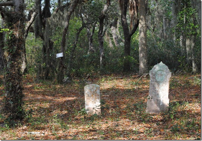
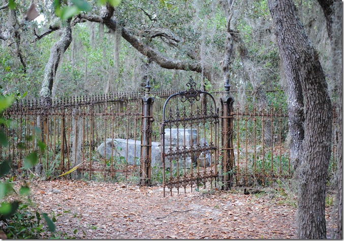
Julie and I wanted to get out and do some kayaking so we decided to take the hour drive to Cedar Key and see what short outing we could do there. We put in at the Cedar Key public beach area and paddled the approximately 1 mile to the sandy beach just north of the old wooden pier. Docking our kayaks, we headed out on the trail across the Atsena Otie Key. There is an old cemetery on the south end of the island. Many old gravestones can be seen in this area. Back in out boats, we continued counter clockwise around the island (key). We decided to try and cut though the island instead of completely circling the island. The inland waterway was very calm, with lots of birds, including several bald eagles. We went at high tide, but still struggled at times over the many oyster beds in the area. You should check out the tides before you attempt to cut across the center of the island.
Atsena Otie Key was the original location of the Cedar Key settlement. There was a few businesses located on the island, with the most prominent being a pencil company who used the many cedar trees on the island for their product. In the late 1800’s a powerful hurricane hit the area and produced 10 foot waves which destroyed almost everything on the island except for a few homes. In the early 1900’s the island was purchased for a small sum of money and turned into a wildlife refuge. Later the Atsena Otie Key was sold to the Suwannee River Management District which manages and protects the island at this time.
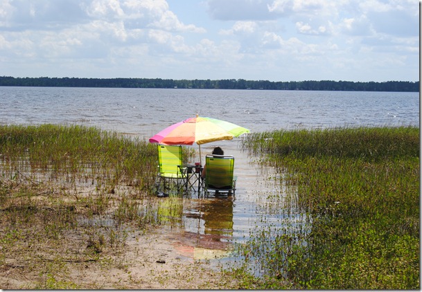
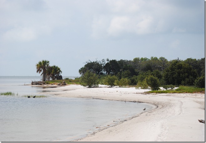
Here is one of the beaches on the East side of the island.
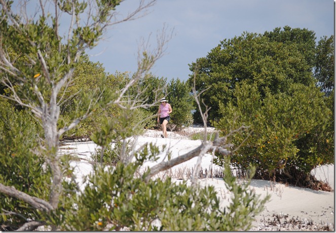
 Here’s Julie hiking along the beach on the island
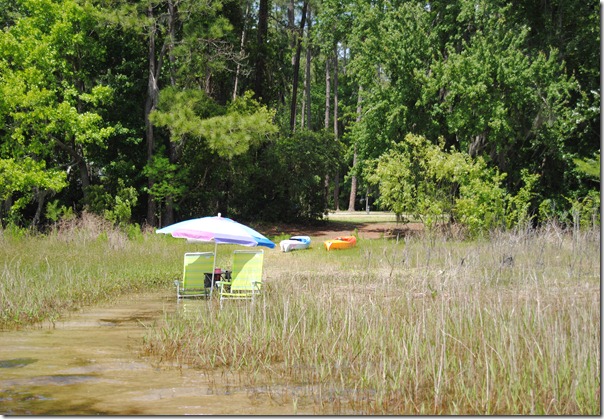
 Looking back through the marsh towards the town of Cedar Key
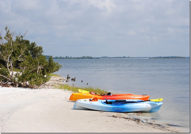
 We docked our kayaks on the North West section of the Island (key) to do a little hiking.
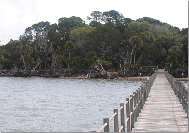
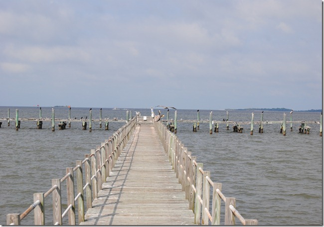
 On the island there’s an old wooden dock that is still standing, but it’s it pretty rough shape. You can walk out on part of the dock, but there’s no using it for boating access.
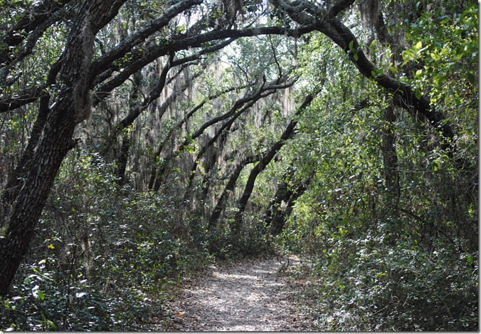
 There is a hiking trail that leads from the beach area to the south side of the island. This is the trail that leads to the old cemetery which still has many interesting tombstones.
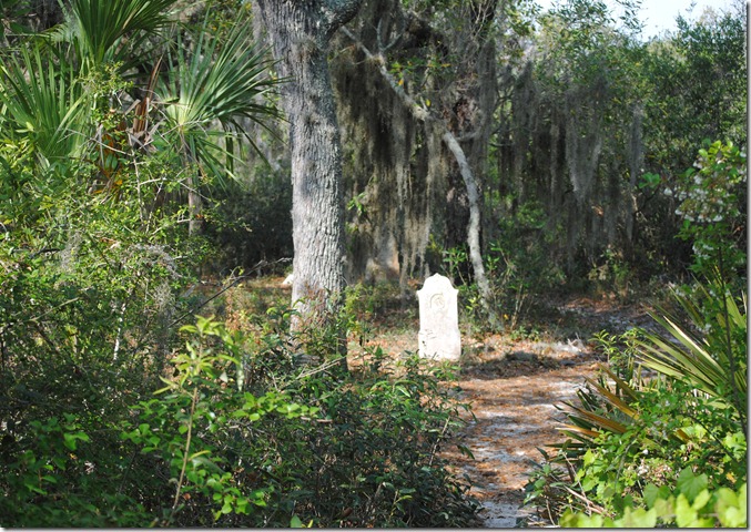
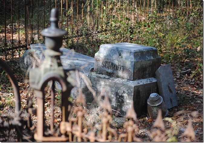
 These pictures are of the cemetery used by the old inhabitants for the island. It’s only about a quarter mile walk from the beach where we docked out kayaks.,

 And finally, here is the GPS track of the kayak paddle and the short hike we took on the island.
Cedar Key Kayak at EveryTrail
