Florida Keys

Florida Keys
Florida Keys September 2014

Saturday, December 17, 2011

Camping trip to Fort Desoto


Date: 12/17/11 – 12/19/11
Location: St. Petersburg, Fl
GPS Coordinates: 27.637149 -82.719949
For our first real camping trip we were able to snap up a spot at Fort Desoto campground in St. Pete. This is a very popular county park and for good reason. There’s a wide variety of camping sports, most very nice and spacious and many being right on the water. This park is also well known for its’ beach and has been chosen as the number one beach in the US on several occasions. The beach is a good distance away from the campground. You would need some bikes or drive to the beach. There are good bike paths throughout the park making biking anywhere very convenient.
Also, this park has many great fishing locations. You can find places to fish from the shore or put in a boat/kayak to get to other fishing spots.
Here is our Review of this campground:
Website: http://www.pinellascounty.org/park/05_ft_desoto.htm
Site Number: 211
Date visited: 12/17/11 - 12/19/11
Rating (1 = low, 5 = high)
Campsite size: 5
Campsite space between sites: 4
Campsite privacy between sites: 4.5
Campsite level: 4
Campsite parking: gravel/dirt
Campfire permitted: Need fire pit. No ground fires
Campsite picnic table: Wood (moveable)
Campground Facilities: 5
Campground access to hiking: 3
Campground access to water (kayaking, fishing, swimming, etc): 5
Campground access to biking: 5
Overall Campground rating: 5
 
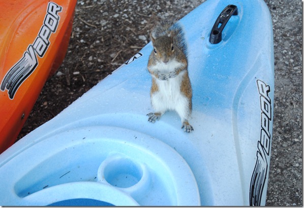
Very “friendly” squirrels at Ft. Desoto
DSC_0957
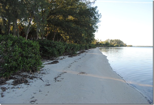
Beach right in front of our campsite
DSC_0953 
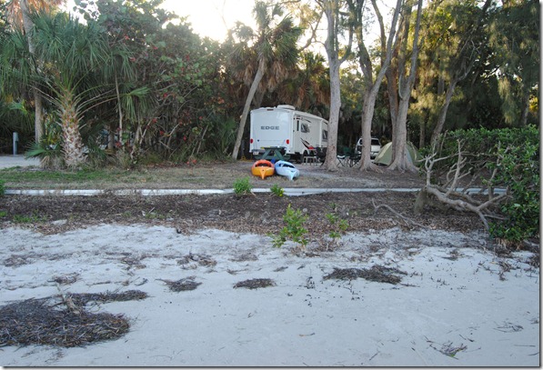
Our camping spot as seen from the water.
DSC_0949
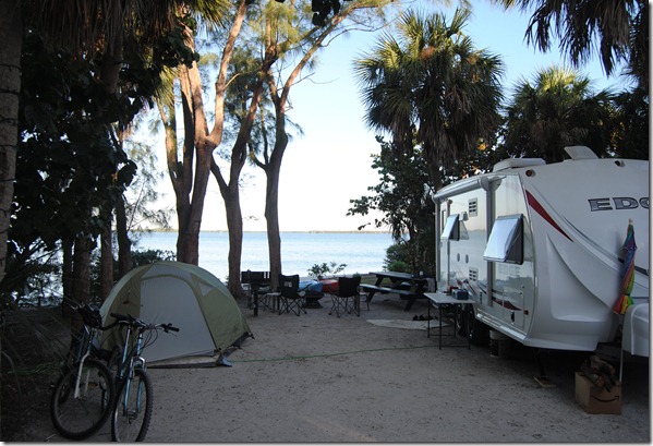
Another view of our campsite.
DSC_0930
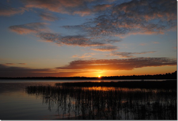
A nice sunset over the bay at Ft. Desoto
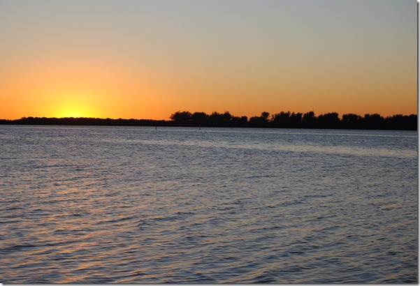
DSC_0905
Mother and daughter enjoying the view.
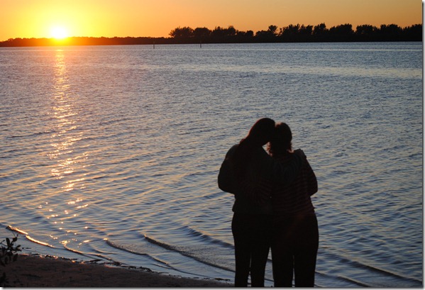
DSC_0893
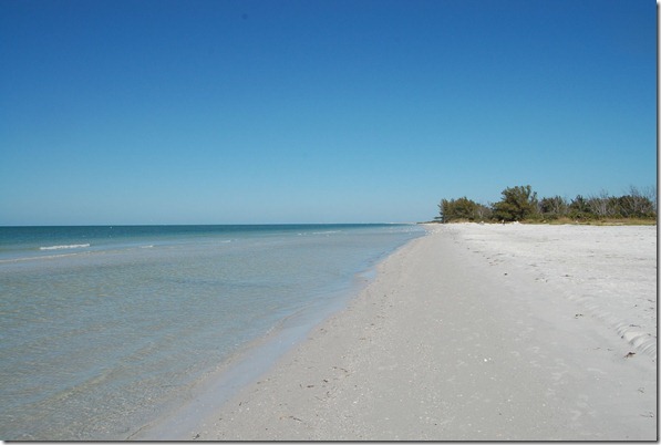
The beach at Ft. Desoto
DSC_5146
If she can catch a fish, then anyone should be able to!!
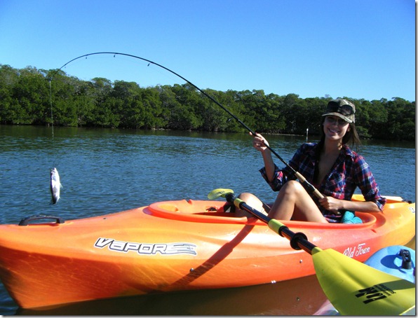
DSCF0169


Friday, November 4, 2011

Camping weekend at Ocean Pond Campground


Date: 11/4/11 – 11/6/11
Location: Osceola National Forest (Near Lake City, Florida)
GPS Coordinates: 30.239501, -82.436620
I hesitate to write about this campground as it is not well known and does not show up on many campground searches. My wife and I used to camp here many (many!) years ago, well before we were married. With the purchase of our camper recently, we decided to give it a try again. There are two loops to this campground. One has water and electric hookups and is more open. There’s about 10 – 15 sites that are right on the water edge of Ocean Pond. The second loop does not have hookups and is more wooded. I believe this is the original location where we camped years ago.
Obviously there are many water related activities that you can do at this location. There is a small beach and playground. Also, there is a boat ramp for launching boats.
For hiking, the Florida trail comes right through the campground. You can pick many different offshoots of this trail to hike right from the entrance of the park.
Here is our Review of this campground:
Site Number: ??
Date visited: 11/4/11 - 11/6/11
Rating (1 = low, 5 = high)
Campsite size: 5
Campsite space between sites: 5
Campsite privacy between sites: 2 (varies greatly depending on site and area of campground)
Campsite level: 5
Campsite parking: asphalt
Campfire permitted: yes in fire ring
Campsite picnic table: metal (moveable)
Campground Facilities: 4.5
Campground access to hiking: 4.5
Campground access to water (kayaking, fishing, swimming, etc): 5
Campground access to biking: 3.5
Overall Campground rating: 4
 
Sunset from our campsite on the water.
DSC_0759
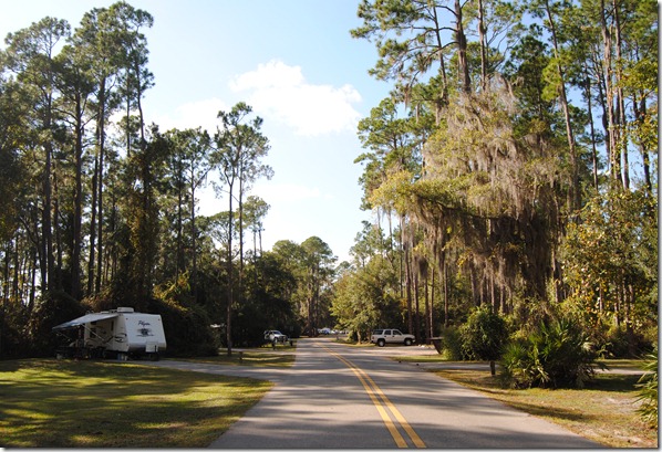
Main road leading into the campground
DSC_0739
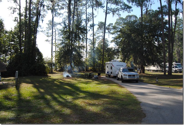
Our campsite, not much vegetation between sites, but they are huge.
DSC_0733
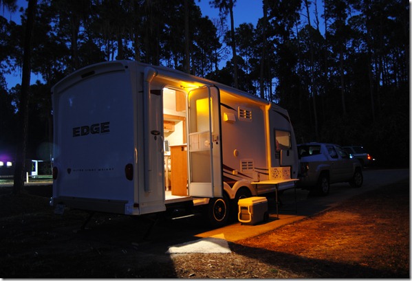
Our camper at night.
DSC_0705
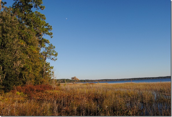
Looking out at Ocean Pond
DSC_0606
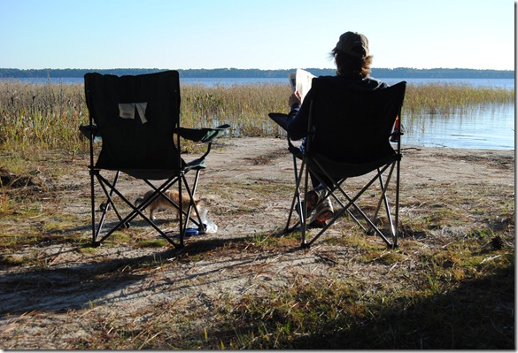
Julie relaxing by the lakes edge
DSC_0621
 
Here’s a link to some other pictures
Here’s a hike that we did:
Ocean Pond - Florida Trail at EveryTrail

EveryTrail - Find the best Hiking near Jacksonville, Florida
Ocean Pond - Florida Trail at EveryTrail

EveryTrail - Find the best Hiking near Jacksonville, Florida


Saturday, October 15, 2011

First camping night in the new trailer.


Date: 10/15/2011
Location:
GPS Coordinates: 30.718203, -84.852352
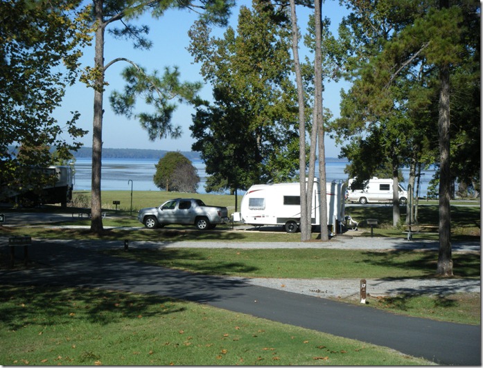
We drove from our home in Gainesville, Florida up to Columbus, Georgia to pick up our new travel trailer.  A new Heartland Edge that we found at the Columbus RV Center. Excited about our new purchase, we wanted to find a campground somewhere half way back to home so we could spend the night and get to know our camper. We eventually found a site at the East Lake Campground on Lake Seminole. The was a very nice, clean park with well spaced sites. Most sites were very open (few trees) and many right on the lake.

Our new camper!
DSCF0153
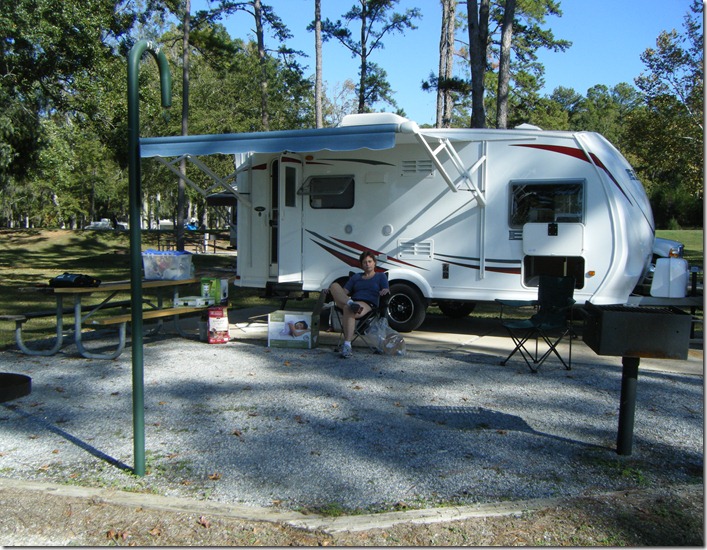
Julie relaxing after getting the camper somewhat set up.
DSCF0147

Here is our Review of this campground:
Website:
http://www.sam.usace.army.mil/Missions/CivilWorks/Recreation/LakeSeminole/Camping.aspx
Site Number: ?? (forget the number)
Date visited: 10/15/2011
Rating (1 = low, 5 = high)
Campsite size: 4
Campsite space between sites: 3
Campsite privacy between sites: 3
Campsite level: 5
Campsite parking: Concrete
Campfire permitted: yes in fire ring
Campsite picnic table: Concrete
Campground Facilities: 4
Campground access to hiking: 4
Campground access to water (kayaking, fishing, swimming, etc): 5
Campground access to biking: 3
Overall Campground rating: 3.5
 
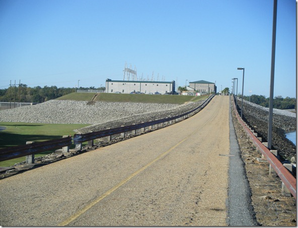
We did do a few very short hikes at this campground. There were not many hiking opportunities, but we did find a few to take advantage of. There was one short hike off of the campground loop furthest away from the water. Also, you can make your way over to the dam built to create Lake Seminole.
 
Access road leading up to the dam.
DSCF0151
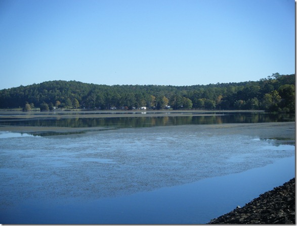
Looking back towards the campground from the dam. The water in the lake was somewhat weed choked and the warm lake water caused things to be very buggy in spots.
DSCF0149


Sunday, March 27, 2011

Kayaking the Santa Fe River from Oleno State Park


Location: High Springs, Fl
GPS Coordinates: 29.915060, –82.579596
Date: 3/27/2011
 
I’m going back and collecting some of the trips I had been adding to Everytrail & Wikiloc and including them in this blog.
 
Julie and I kayaked the Santa Fe river starting at the O’leno state park (http://www.floridastateparks.org/oleno/) . The river level was at 36.93 at the I-75 bridge. The reason I mention this is because the water level was pretty low and you may want to think twice about making this trip if the level is any lower than this. You can check the water level at http://www.srwmd.state.fl.us/realtimeriverlevels/realtimeriverlevels.aspx
We had to get out twice pulling our kayaks over some shallow areas, but this was relatively easy and well worth the effort. Also, there were several areas where trees had fallen crossing the river, but we had no problems making our way around these.
The water level was more of a problem near our put in location at O’leno State park. At one point we came upon a bunch of deer crossing the river. The water level was so low that they had no problem getting from one bank to the other.
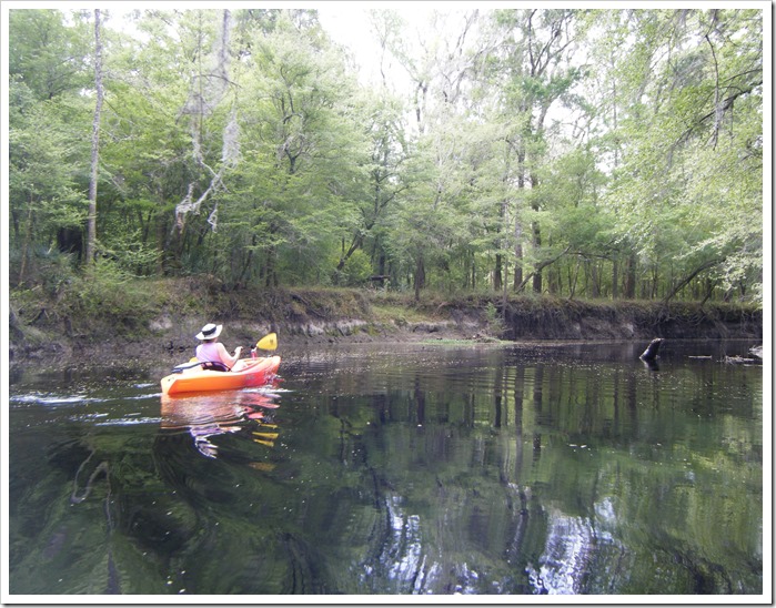
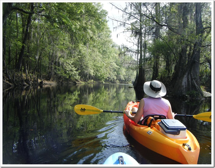
Other than the low water, this was an awesome trip. There are absolutely no homes or other signs of civilization on the river. It’s totally pristine from the state park all the way up to I-75. We only saw one other boat and this was a john boat using an electric trolling motor. Other than that, we were the only ones on the water and this was on a weekend day with perfect weather.
We paddled upstream for about 3.2 miles, just about a ½ mile past the I-75 bridge. The current was very easy and we had no problem paddling against it for the first half of the trip. As you approach the bridge, the river widens and oddly also deepens. Unfortunately, you also get a lot of road noise from the highway, but this does not last very long.
One other interesting part of the trip was at about 1.1 mile into the trip. There was a short spur off to the left of the river. We followed it and there was a spot where the water was flowing down into a sink, causing a whirlpool. If you paddled on top of it, it would spin your boat in circles. Kind of weird!
Both Julie and I agree that this was a great paddle and would highly recommend it to others, just as long as the water level was at an ok level.
 
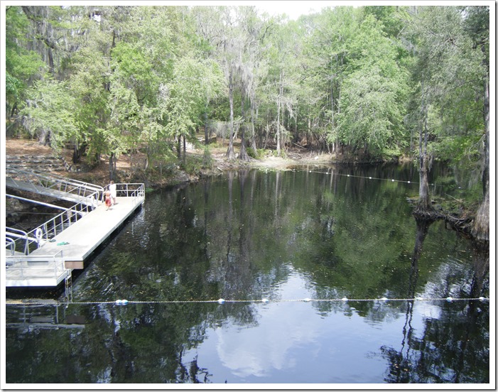
The dock and put in location at O’leno State Park. The water is very dark from the tannin.
DSCF0078
 
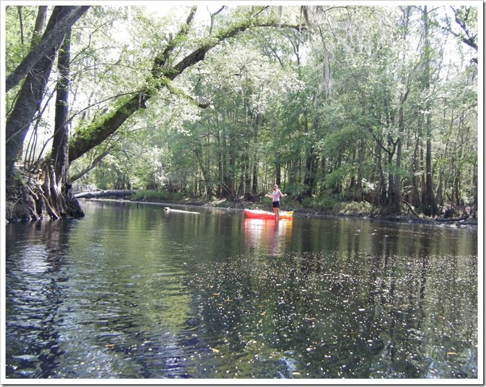
Julie standing in one of the shallow areas close to the state park. This is the reason to check the water level before taking this trip.
DSCF0075
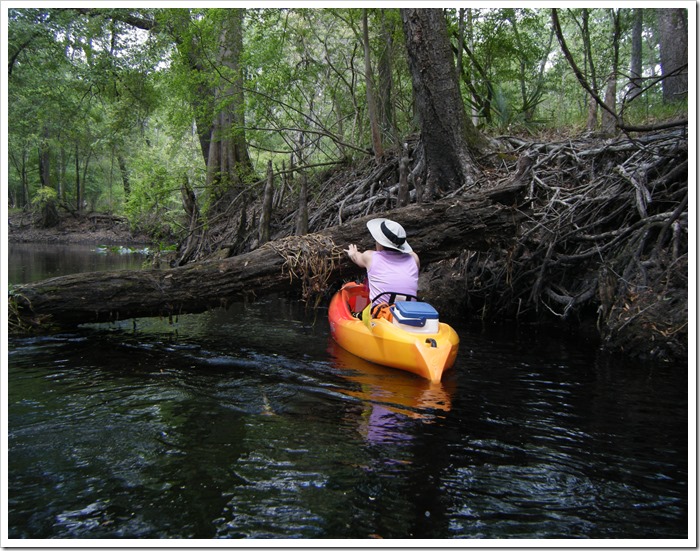
There were a few logs crossing the river, but nothing too bad and we had no problem getting by them
DSCF0074
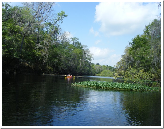
This was a very peaceful river to paddle as we just about had the river to ourselves and there was no homes or building along the entire route.
DSCF0072
This is the spot after crossing under I-75 were the river widens and the current is very easy.
DSCF0070
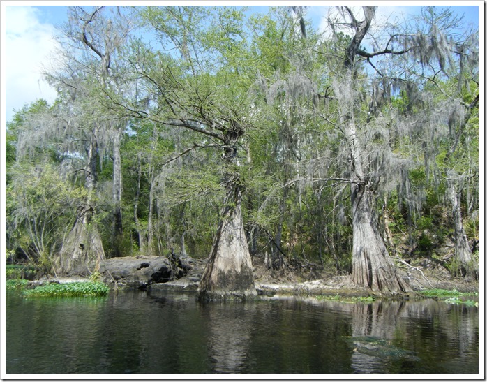
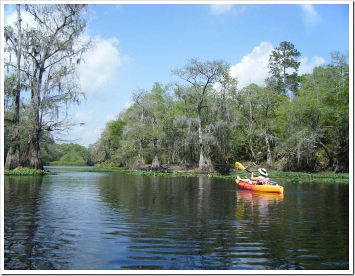
Some very nice old cypress trees line the edge of the Sante Fe river.
DSCF0069
This is the spot where we turned around and started heading back down river.
DSCF0067
 
DSCF0060
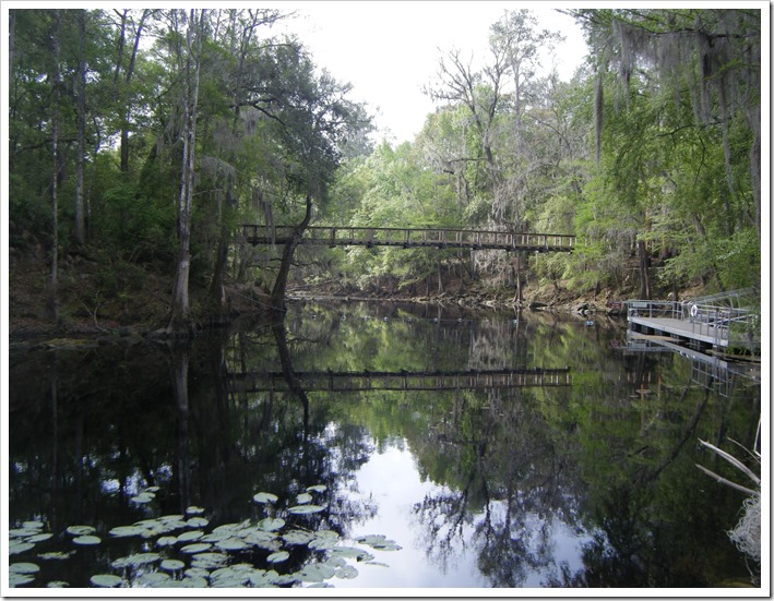
Back at Oleno State park where we put in. This is the foot bridge over the river and leads to one of the hiking trails in the park. You can’t go any further down river from this point as the river eventually goes underground, only to re-emerge at the River Rise State Park, We’ve also paddled that section of the Santa Few River which can be seen at this link
DSCF0057
 

Kayaking the Santa Fe River at EveryTrail


Sunday, January 2, 2011

Three Sisters Spring–Crystal River

 
Crystal River Florida
GPS Coordinates:
28.887959, -82.589456
Date: 1/2/2011


We have a pair of kayaks, but we needed at third since our daughter Allison was joining us on this trip. So, we drove south to the Crystal River Kayak Company. This business, right on US-19  in Crustal River, has a good selection of kayaks for rent and is also just a short paddle to the Three Sisters Springs. From the put in the springs is an easy 10 minute paddle through a series of canals. During the winter, this area is a haven for manatees, with a great number of them hanging out by the spring run. . We were early enough that the crowds were not too bad yet. We kayaked around and returned about an hour later and it was a very busy time with lots of charter/tour boats. If you want to do this trip, then I would recommend visiting Three Sisters Springs in the early morning or NOT on a weekend!!

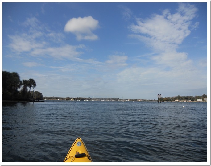
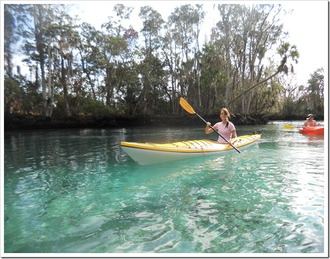
Nice blue skies make for a good day on the water.
DSCN0265

This is the area right outside the Three Sisters Springs. The area beyond the roped off area is if for Manatees only and gives them a place to get away from all the commotion.

DSCN0264


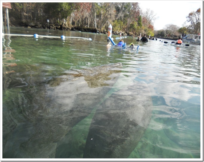
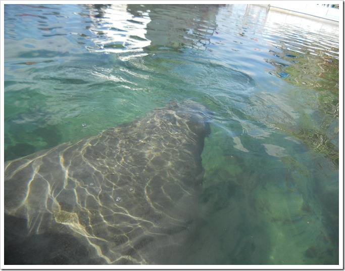
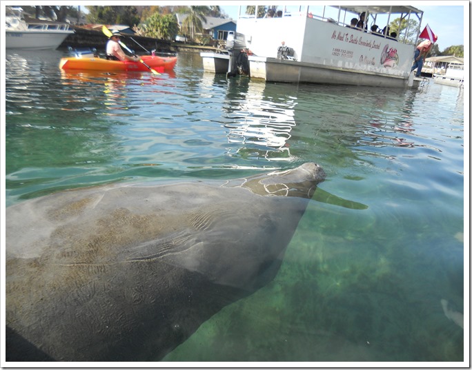
One of the manatees swimming near our kayak in the nice clear spring water.
DSCN0261


You can tell from this picture that the area is starting to get crowded with tour boats and other motor boats.
DSCN0260

We kayaked up the short spring run to the Three Sisters Springs. It is usually much quieter in here and usually there’s a few manatees hanging out in the spring boils.
DSCN0255

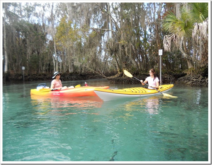
My daughter in the rental kayak. The rentals were much nicer than the kayaks that we have, but guess they probably cost more also!!
DSCN0252

You don’t see too many pictures of me in this blog since I’m always the one taking the pictures, but somehow one slipped in here.
DSCN0251

This picture shows how nice and clear the spring water is and there’s a manatee hanging near the bottom of the spring.
DSCN0244

And finally, here is the GPS track of this trip.
Crystal River - Manatee trip at EveryTrail